Airports
- Contains over 20,000 real world airports.
- Their runways contains the correct placement, markings, and approach lighting.
- Taxiways are available for many larger airports and it even includes the green center line lights when it's appropriate.
- Runways il change elevation as they are in real life.
- Directional airport lighting smoothly changes intensity as the relative viewing direction changes.

Scenery
- Accurate terrain and scenery worldwide fits on 4 Blu-ray + 1 DVD disks (HD Quality) , 3 DVDs (SD Quality) . It's based on the most recent release of the SRTM terrain data which contains a resolution of 3 arc seconds (90 meters) for most of North and South America, Europe, Asia, Africa and Australia. Each map file is a 10x10 (latitude/longitude) section of the world.
- The scenery includes elements like lakes, rivers, roads, railroads, cities, towns, land cover, etc.
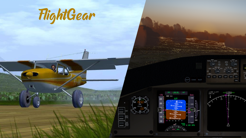
- Night scenery lighting and ground lighting are concentrated in urban areas and headlights are visible on major highways. This allows for realistic night flying, the ability to spot cities and towns and follow roads.
- Scenery tiles are paged (loaded before you can see them, unloaded after you can't see them) in a separate thread to minimize the impact on the frame rate when you need to load new areas.
- TerraSync is a feature implemented inside FlightGear that uses the current virtual position to download the most up-to-date scenery version available. Their wiki explains this in more detail and how to launch and run TerraSync.
